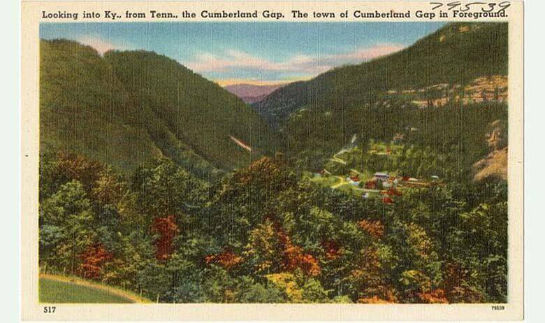


The Town of Cumberland Gap gets its name from the nearby physical mountain passage long used by Native Americans and pioneers as an easier means of travel through the lengthy ridge of the Cumberland Mountains, a 131-mile mountain range located in the southeastern portion of the Appalachian Mountains. This V-shaped gap lies at the tri-border area where Tennessee, Virginia, and Kentucky meet. It is without question one of the most important pieces of land in American History.
The Cumberland Gap is one of multiple passes in the Appalachian Mountains, but it’s the only one in the continuous Cumberland Mountain ridgeline. The gap lies within Cumberland Gap National Historical Park and has an elevation of about 1,631 feet above sea level. The base of the gap is about 300 feet above the valley floor, while the ridge rises 600 feet above the pass to the south and 900 feet at the north Pinnacle Overlook.
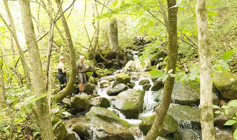
There was a two-lane highway that went through the gap for most of the 20th century, but the road was removed in 1996 and replaced with a four-lane tunnel that goes under the mountain. There are short walking trails that take you to the gap from both directions, including one in the Town of Cumberland Gap. Aside from the Town of Cumberland Gap, the nearest cities to the gap are Harrogate, Tennessee and Middlesboro, Kentucky.
We highly recommend visiting the natural land formation of the Cumberland Gap itself. We know you won’t regret it!